Photographs courtesy of David McKamey.
An 1890 description of the travel from Rathmullen to Ramelton
(5 Irish, 6½ Eng miles)
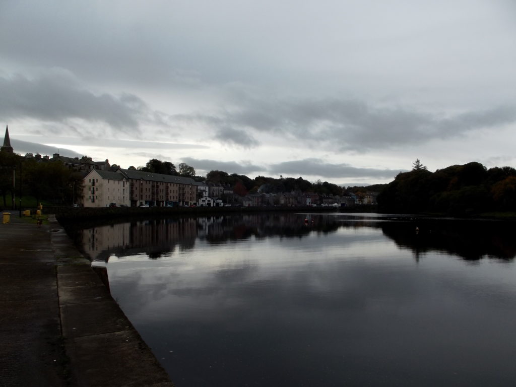
The road skirts Lough Swilly and the estuary of the Lannan river all the way, affording good views across the water.
Quitting Rathmullen our route passes the Abbey and for three miles skirts Lough Swilly, being identical with the road to Ramelton.The shore is wooded all the way. Then the road turns inland and getting rather rough ascends for the next few miles, affording a good back view over the lough, to Grianan of Aileach and the hills beyond Derry, while to the left, in the lower and richer country,, Ramelton may be seen. Nearing the highest point (abt. 320 ft.) we see straight ahead, Dooish and Errigal, triangular heights with rounded off tops, Errigal distinguishable by a nick, which gives it a double peak. The hill to the right, very much nearer, is Lough Salt Mountain and a pine-clad ridge close at hand shows a warmth of colour very unusual in the heights of Donegal.
transcribed by Teena from”Ireland (part I.) Northern Counties, Including Dublin and Neighbourhood” by Mountford John Byrde Baddeley