UlsterAncestry is proud to showcase a beautiful collection of photographs of County Donegal, courtesy David McKamey.
David is researching the McKAMEY’s of County Donegal. Other spellings of the surname include – Makemie, McKim, McKimmie, McKemmie, McKemy, McKemie, and even Mak Kymmy.
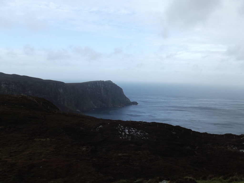
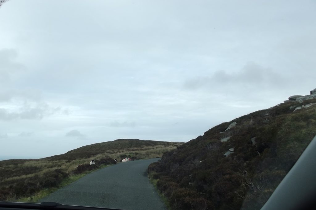
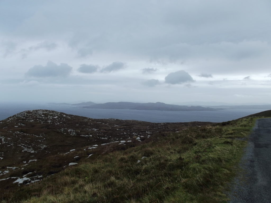
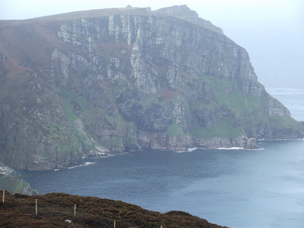
These are of Horn Head, a point of land at the most northern part of Co. Donegal. Beautiful, wind-swept lands with a very narrow, winding road (part of the Great Atlantic Way) up to the a small pull-over for taking pictures.
Horn Head (an 1890 description of the area)
(626 ft.) – This is the highest headland in the North of Ireland and one of the finest, not only in Ireland, but also in the British Isles. A walk round the edge of it may be made to occupy a whole day, and no tourist should devote less than half one to it, the distance by road from Dunfanaghy to the extreme point being nearly 4 miles and the circuit thence back again bringing the total to 9 or 10 miles, rather more if McSwiney’s Gun is visited. The Head is at high-tide almost an island, as an inlet of Sheep Haven leaves little more than a sand-heap between itself and the open sea on the west side.
The road from Dunfanaghy goes west out of the village and in half a mile crosses this inlet by a heavy bridge of many arches, from the parapet of which the youth of the neighbourhood catch small-fry by the score when the tide comes rolling in. Beyond it, a gateway introduces us to the demesne of Horn Head House (C.F. STEWART Esq.), and hence, a good road. to be followed to its end, takes us to within ten minutes walk of the “Horn”. At first huge sand heaps, burrowed by rabbit holes, are on our left; then, fifty minutes after starting, we pass between the two highest points of the promontory and get a peep at the Bloody Foreland to the left of a billy-cock shaped height close to us. The road ends close to a height with a cairn and a pole on it and from here we see the ruined signal station and the Head, a good half mile in front of us .A slight descent and a rise leads to them. Keeping near the cliff we get a view of the grand eastern side of the Head, in parts deeply caverned, and mottled with black, white, and ruddy brown tints – the formation being a mixture of diorite, quartzite, and slate. The ‘Signal Station’, long superseded by the telegraph, is a big gaunt ruin. Beyond it the sheer cliff is broken now and again by steep green corries – grass-grown scree – on the steepest of which sheep and goats contentedly graze.
No promontory is more fitly named than Horn Head. Its extreme points rise, just like two horns, 620 feet above the sea, the rock being to a great extent sheer. The view is very extensive. Tory Island and the round hill that sinks to the almost level tract of the Bloody Foreland to the west; Dunaff Head, Malin Head, and the lighthouse-crowned island of Innistrahull to the east; inland the Devil’s Backbone, Muckish, Wee Errigal, Errigal and other heights.
transcription & map by Teena from “Ireland (part I.) Northern Counties, Including Dublin and Neighbourhood” by Mountford John Byrde Baddeley 1890